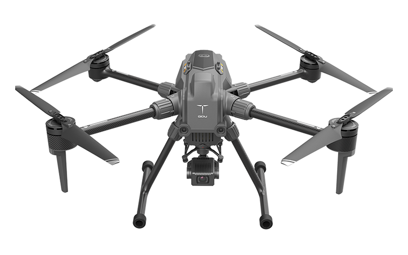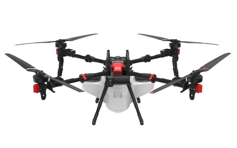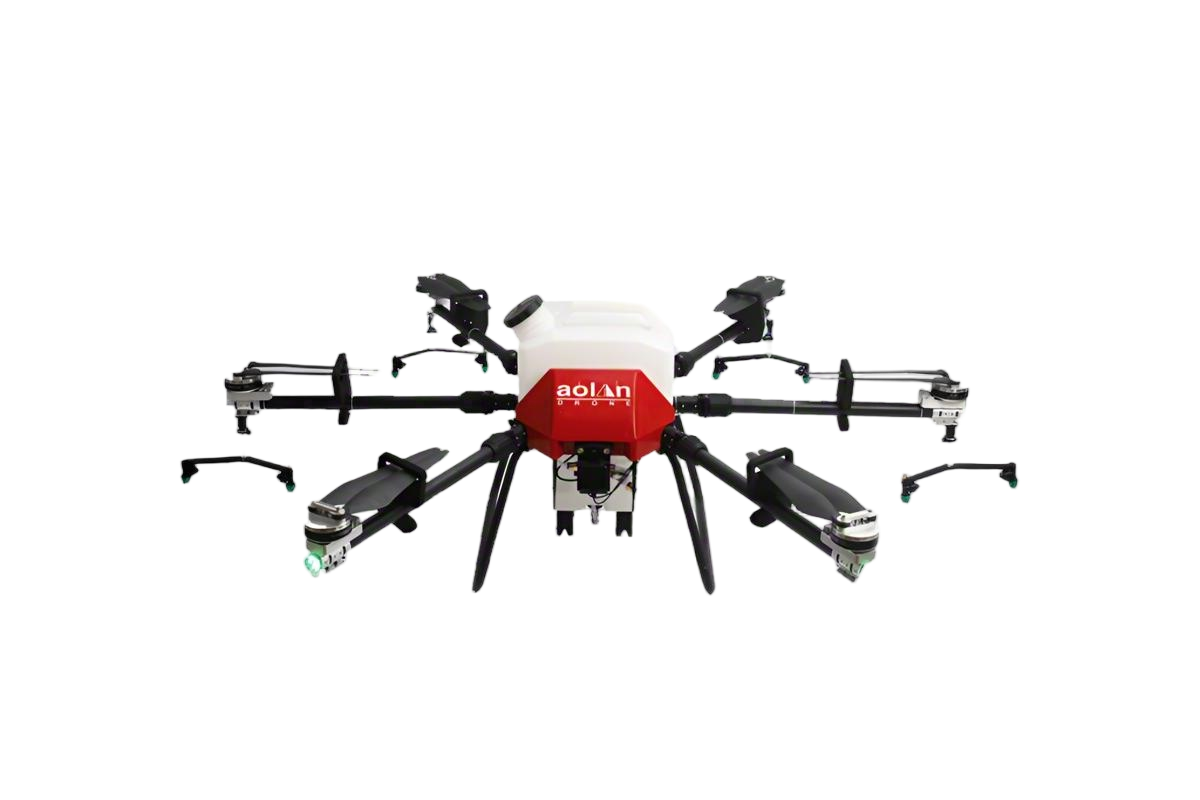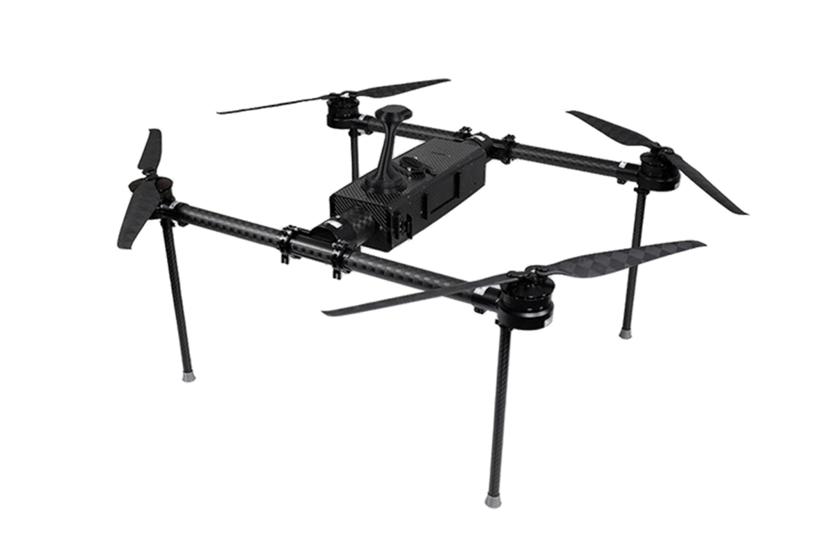
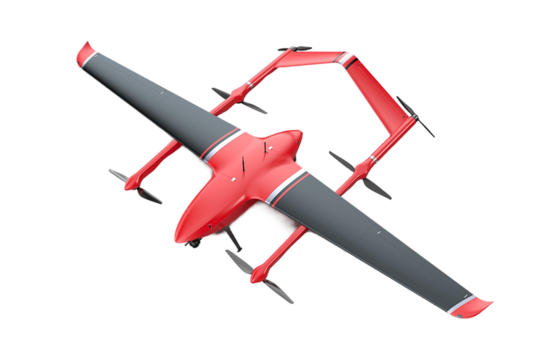
China has definitely become a major hub for professional aerial mapping and geospatial tech. Its manufacturers work with construction, mining, agriculture, infrastructure, and environmental survey teams all over the world. This introduction takes a look at China’s top 10 Surveying Drone manufacturers—and yes, the focus is on real-world performance, not just marketing claims.
When putting the list together, I looked at things like flight stability, camera and LiDAR integration, mapping accuracy, software compatibility, battery life, after-sales support, and international deployment experience. DJI, JOUAV, XAG, EAVISION, FJDynamics, CHCNAV, Hi-Target, and other established names each take a different approach to professional surveying. Some lean toward compact field operations. Others build long-endurance fixed-wing platforms for big corridors and remote terrain.
Field experience matters. A drone can shine in a factory demo and then struggle with wind, dust, weak signals, or uneven ground control. Survey teams also need data workflows that make sense, dependable calibration, and export options that play nicely with the GIS software they already use. Small details matter. A delayed battery shipment can bring an entire project to a stop.
As Chris Anderson, former CEO of 3D Robotics, once observed, “Drones are going to be the next major platform.” That line helps explain why the industry keeps growing, though surveying demands more than just a flying platform. It needs repeatable measurements and accountable processing.
No ranking is ever perfectly neutral. Regional support, project scale, and payload choices can all change the result. And some public specifications are just hard to compare directly. That’s a weakness worth admitting. So this guide lays out useful evidence, visible capabilities, and practical limitations, helping readers size up each Surveying Drone manufacturer with clearer expectations.
China Top 10 Surveying Drone Manufacturers Worldwide
A surveying drone is an unmanned aircraft designed to capture measurable information from land, structures, and infrastructure. It combines high-resolution cameras, positioning systems, and mapping software. In practical work, one flight can record roof damage, stockpile volume, or a road corridor. The aircraft is not the survey itself. Accurate control points, suitable weather, and skilled processing still matter.
Grand View Research valued the global commercial drone market at approximately USD 30.61 billion in 2023. Its analysis projects a 13.9% compound annual growth rate from 2024 to 2030. MarketsandMarkets also identifies surveying, mapping, and inspection as important commercial applications. These figures show growing demand, but they do not guarantee reliable results. A dense point cloud may look impressive while hiding poor positioning.
On a construction site, a surveying drone can reduce repeated climbs and provide a current terrain model within hours. It helps teams compare planned elevations with actual surfaces. That supports quantity checks, progress records, and safer decisions near unstable ground. Yet accuracy can weaken beside tall buildings, under weak satellite coverage, or during strong wind. Human review remains essential. The workflow is powerful, but not automatic. One overlooked control point can distort an entire map.
A credible ranking begins with measured field performance, not advertised flight time. Surveying drones should deliver consistent positioning across construction sites, farms, quarries, and uneven terrain. We examine horizontal and vertical accuracy, repeatability, sensor calibration, and mapping quality. Ground control workflows also matter. A clear image is not always a precise survey.
Field evidence matters. We compare completed projects, independent test results, and feedback from experienced survey teams. A reliable platform should maintain stable flight in moderate wind and produce usable data after repeated missions. Payload flexibility is important, especially when teams switch between cameras, LiDAR units, and multispectral sensors. However, specifications can mislead. Battery endurance often changes with temperature, payload weight, and altitude.
Software compatibility forms another major criterion. Exporting data into common surveying, geographic information, and engineering systems reduces unnecessary processing. We also assess mission planning, obstacle awareness, data protection, repair access, training, and technical support. Compliance with aviation and privacy requirements strengthens a manufacturer’s credibility. Total ownership cost receives equal attention, including batteries, maintenance, software subscriptions, and operator training. Numbers can mislead. Even a strong aircraft may perform poorly with weak calibration or inexperienced operators. Ranking results should therefore remain open to revision as field conditions, regulations, and technology change.
China’s top ten surveying drone manufacturers reflect a market shaped by mapping accuracy, flight endurance, and field reliability. Their equipment supports construction surveys, mining inspections, agricultural measurement, and emergency mapping. The strongest manufacturers usually offer complete workflows, not only aircraft. These include route planning, real-time positioning, photogrammetry, and secure data processing.
A 2024 Drone Industry Insights report estimated global commercial drone revenues would exceed 30 billion US dollars. Surveying remains a major professional application. MarketsandMarkets also projects the global drone services market to reach over 60 billion US dollars by 2025. These figures explain the growing demand for centimeter-level positioning and repeatable data collection. In practical work, a reliable surveying drone should hold stable flight beside cranes, transmission lines, or uneven terrain. Battery changes should be quick. Data should remain usable after bad weather or partial signal loss.
Field experience still exposes weaknesses. Wind ratings can look impressive, yet payload weight reduces endurance. A 45-minute flight may become 28 minutes with a laser scanner. That difference matters on large sites. Buyers should compare sensor calibration, correction-service compatibility, operator training, and repair response times. A 2023 report from the International Society for Photogrammetry and Remote Sensing noted that accuracy depends heavily on ground control, camera calibration, and processing quality. The aircraft is only one part. Some product claims also need independent testing. That is where this ranking becomes imperfect, but more honest.
| Rank | Anonymized Manufacturer Profile | Primary Platform | Typical Survey Payload | Navigation & Positioning | Typical Flight Endurance | Common Survey Applications | Key Strength |
|---|---|---|---|---|---|---|---|
| 1 | Profile A — Integrated professional surveying systems | Multirotor and compact VTOL | RGB camera, RTK/PPK camera, optional LiDAR | RTK/PPK with visual and satellite positioning support | 25–55 minutes per battery set | Topographic mapping, construction progress, stockpile measurement | Strong workflow integration from flight planning to deliverables |
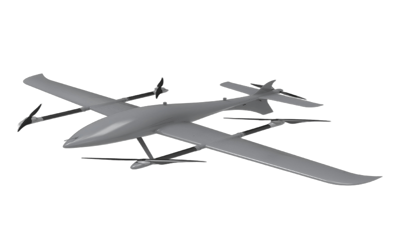
| 2 | Profile B — Long-endurance corridor mapping systems | Fixed-wing VTOL | High-resolution RGB, multispectral, optional thermal | GNSS/INS with automated route execution | 60–120 minutes per mission | Roads, railways, pipelines, power-line and river corridors | Efficient coverage of large linear or regional areas |
| 3 | Profile C — Heavy-lift LiDAR survey systems | Industrial multirotor | LiDAR scanner, RGB camera, laser rangefinder | RTK/PPK and inertial measurement unit integration | 20–40 minutes per battery set | Forestry, mining, transmission corridors, complex terrain | Captures terrain beneath vegetation and in low-texture areas |
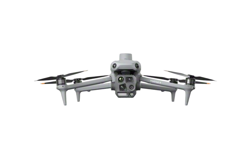
| 4 | Profile D — Compact mapping and inspection systems | Small foldable multirotor | RGB camera, zoom camera, optional thermal sensor | Satellite positioning with visual stabilization | 25–45 minutes per battery set | Roof inspection, façades, construction sites, emergency response | Portable deployment and rapid field operation |
| 5 | Profile E — Precision photogrammetry platforms | Survey-grade multirotor | Mechanical-shutter mapping camera and oblique camera array | RTK/PPK, ground-control-point compatible | 25–50 minutes per battery set | Orthomosaics, 3D models, cadastral and engineering surveys | High image overlap and repeatable data capture |
| 6 | Profile F — Multispectral agriculture survey systems | Lightweight multirotor | Multispectral camera, RGB camera, sunlight sensor | GNSS-assisted autonomous flight | 20–40 minutes per battery set | Crop scouting, plant-health mapping, irrigation assessment | Produces vegetation-index imagery for large field areas |
| 7 | Profile G — Thermal and visual inspection platforms | Weather-resistant multirotor | Radiometric thermal, zoom and wide-angle RGB cameras | GNSS, obstacle sensing and stabilized flight control | 25–45 minutes per battery set | Solar-panel checks, substations, buildings and fire assessment | Combines temperature data with detailed visual evidence |
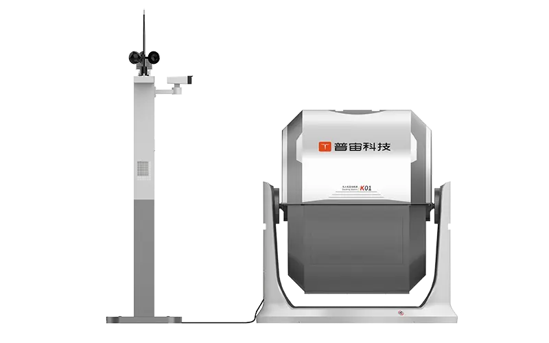
| 8 | Profile H — Survey automation and docking systems | Dock-compatible multirotor | RGB, zoom, thermal or LiDAR payload options | RTK/PPK, remote command and automated return-to-dock | 30–50 minutes per sortie | Perimeter security, asset monitoring and recurring inspections | Supports repeatable, remotely supervised missions |
| 9 | Profile I — Ruggedized industrial mapping systems | Heavy-duty multirotor | RGB, thermal, zoom and modular survey payloads | RTK/PPK with obstacle avoidance and terrain following | 20–40 minutes per battery set | Mining, industrial plants, quarries and infrastructure assets | Designed for demanding environments and interchangeable payloads |
| 10 | Profile J — Entry-level professional mapping systems | Compact multirotor | RGB mapping camera with optional RTK module | GNSS-assisted flight with manual override | 20–35 minutes per battery set | Small-area mapping, education, basic inspection and local surveying | Lower acquisition cost and straightforward operation |
Note: Manufacturer names and brand-specific figures are intentionally omitted. Performance ranges are representative operating values for the corresponding surveying-drone platform categories and can vary with payload, weather, flight regulations, terrain and mission settings.
Surveying drone systems now combine precise positioning, advanced sensors, and automated data processing. According to Drone Industry Insights’ 2024 Drone Market Report, mapping and surveying remain major commercial applications. RTK and PPK positioning reduce flight drift. Ground control points still verify accuracy. They should not be skipped.
LiDAR captures terrain beneath light vegetation, while photogrammetry creates detailed 3D models from overlapping images. Multispectral cameras help assess crop stress, soil variation, and construction materials. Edge computing can flag missing images before the drone leaves the site. Obstacle sensing improves safety around towers, slopes, and cables. However, technology is not magic. A 2024 MarketsandMarkets analysis forecasts strong LiDAR growth through 2028, partly supported by mapping and inspection demand. PwC previously estimated drone-enabled solutions could create over 127 billion US dollars in global economic value. That estimate is broad and may overstate real field benefits. Weather, battery limits, poor calibration, and weak control points still damage deliverables.
Tips: Choose sensors for the survey objective, not the highest specification. Check calibration before every project. Maintain consistent flight height and image overlap. Compare a sample area with known measurements. Store raw data securely, document processing settings, and review the final map manually. Small errors often hide along tree lines, reflective roofs, and steep embankments.
The chart compares representative horizontal positioning and mapping accuracy benchmarks used in professional surveying drone workflows. Lower values indicate better accuracy. Actual results vary with satellite visibility, correction-signal quality, flight planning, ground control, terrain, and sensor calibration.
China’s surveying drone sector supports construction, mining, agriculture, energy, and public infrastructure projects. These manufacturers typically develop aircraft, cameras, mapping software, and data-processing systems. Their market coverage extends across Asia, Europe, Africa, and the Americas. However, product availability differs by region.
Construction teams use drones to inspect bridges, compare earthwork volumes, and monitor daily progress. Mining operators create detailed stockpile models from repeated flights. Surveyors also capture terrain data in steep or unstable areas, reducing ground exposure. Agriculture users map crop stress with multispectral sensors. Energy companies inspect pipelines, solar fields, and transmission corridors.
Accuracy depends on flight planning, calibration, weather, and operator training. A capable aircraft cannot correct poor field practice.
Tips: Check sensor accuracy, software compatibility, service response, and local training before purchase. Request sample datasets from similar terrain. Confirm repair channels and data-security procedures. Test the system during one realistic project. It may reveal limitations that brochures hide. Market coverage should mean more than export availability. Local support, spare parts, language services, and regulatory guidance often determine long-term value. Some rankings also simplify performance too much. A manufacturer may excel in mining but perform less effectively in dense urban surveys. Evaluate each supplier against project scale, terrain, climate, and reporting requirements.
Choosing among China’s top surveying drone manufacturers requires more than comparing advertised flight time. Start with your project conditions: corridor mapping, stockpile measurement, construction monitoring, or rugged terrain. Ask for documented accuracy from independent field tests. A reliable supplier should explain ground control, RTK or PPK workflows, camera calibration, and error margins clearly. Vague promises are warning signs. Look for evidence.
Inspect the aircraft as a working system, not a single product. Check payload options, obstacle sensing, wind tolerance, battery cycle life, and landing performance on uneven ground. Request raw sample data, processing reports, and a demonstration over a measured site. Compare the surface model with surveyed checkpoints. Small gaps matter when volumes or boundaries affect payment decisions. The demonstration may look perfect. Ask what failed during testing.
Manufacturer support can determine whether the equipment earns its cost. Confirm training, spare-part availability, repair procedures, software updates, and response times in your region. Review warranty terms carefully, especially for batteries and sensors. Experienced engineers should discuss mission planning and data quality, not only hardware. I would test a short pilot before placing a large order. It may reveal weak documentation, slow support, or uncomfortable controls. That is useful evidence, even when the result disappoints.
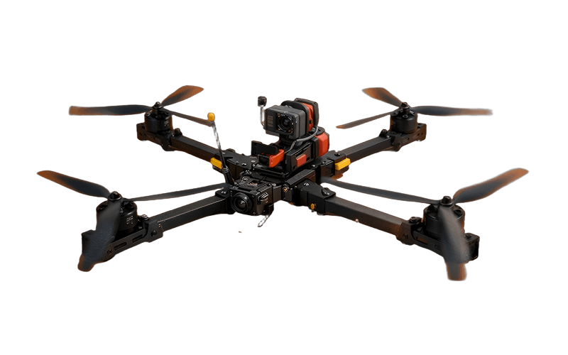
A 17-inch FPV drone offers a useful balance between efficiency, stability, and long-range capability. At the heart of this build is a wide X-frame made from 6063 aerospace-grade aluminum alloy. It weighs just 815g, while maintaining an expanded size of 380 × 357 × 142mm. The 600mm wheelbase provides space for larger motors, batteries, and electronic components, while 1.5mm top and bottom plates and 8mm arms improve structural rigidity. The plastic side plates help reduce weight, and the folded dimensions of 265 × 175 × 100mm make transportation and storage more convenient.
For setup, builders should select motors, propellers, ESCs, batteries, and a flight controller that are specifically matched to 17-inch propellers and the intended payload. A properly tuned power system can deliver smoother cruising and better endurance than a smaller high-speed platform, although the large wheelbase requires more room for takeoff and landing. Industry safety guidance, including the FAA’s recreational UAS rules, emphasizes maintaining visual line of sight and staying below 400 feet where applicable. Builders should also configure failsafe functions, verify radio and video links, and complete low-power bench tests before flight.
When buying, check arm compatibility, motor-mount spacing, battery placement, wiring access, and the availability of replacement plates. This frame is particularly suitable for custom FPV assembly, endurance-focused builds, and pilots who value portability without sacrificing durability.
Credibility depends on measured field performance, not advertised flight time. Independent tests should verify positioning accuracy, repeatability, calibration, and mapping quality. Claims need evidence.
Common applications include construction surveys, mining inspections, agricultural measurement, and emergency mapping. Drones can measure stockpiles, monitor progress, and map uneven ground. Conditions vary.
High accuracy supports reliable boundaries, volumes, and construction decisions. Review horizontal accuracy, vertical accuracy, repeatability, and ground control procedures. Clear images are not always precise surveys.
Not always. Payload weight, temperature, altitude, and wind can reduce endurance. A 45-minute flight might last only 28 minutes with a laser scanner. That difference matters.
Check compatibility with cameras, LiDAR units, and multispectral sensors. Flexible payloads help teams switch between mapping and inspection tasks. More equipment can reduce flight time.
Useful systems provide mission planning, obstacle awareness, data processing, and common export formats. Compatibility with geographic and engineering software reduces repeated processing. Data protection also matters.
Request raw sample data and processing reports from a measured site. Compare the generated surface model with surveyed checkpoints. Ask what failed during testing.
Review training, spare-part access, repair procedures, software updates, and regional response times. Include batteries, maintenance, subscriptions, and operator training in the budget. Hardware is only part.
Field conditions, regulations, and technology change over time. A strong aircraft may perform poorly with weak calibration or inexperienced operators. Rankings are useful, but imperfect.
This article presents a practical overview of the global surveying drone industry, explaining how a Surveying Drone supports accurate mapping, land measurement, inspection, construction planning, agriculture, mining, and infrastructure management. It introduces the main criteria for evaluating leading manufacturers, including flight performance, positioning accuracy, sensor integration, data-processing capability, product reliability, safety features, after-sales service, and worldwide market coverage. The ranking is designed to help readers understand how manufacturers differ in technology, application focus, and overall value.
The article also examines key technologies used in surveying drone systems, such as high-resolution imaging, satellite positioning, LiDAR, photogrammetry, obstacle detection, automated flight planning, and cloud-based data analysis. Finally, it explains how to select a suitable manufacturer by considering project requirements, operating environments, payload options, software compatibility, training, maintenance, regulatory support, and total ownership costs. This guide aims to provide clear, objective information for organizations seeking efficient and dependable aerial surveying solutions.